
TerraViT turns satellite imagery into early climate warnings. Using Vision Transformers on multi-spectral, multi-temporal Earth data, it detects heatwaves, drought, floods, and air pollution weeks bef
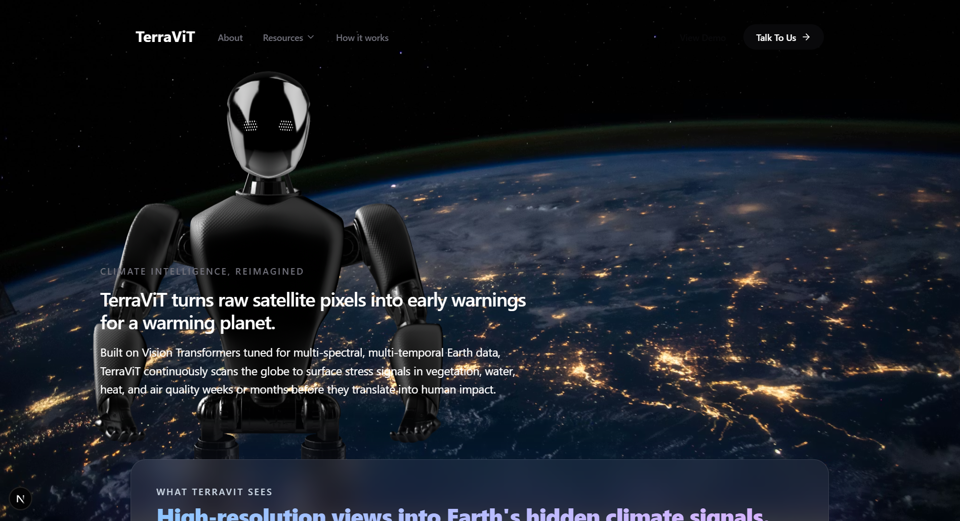
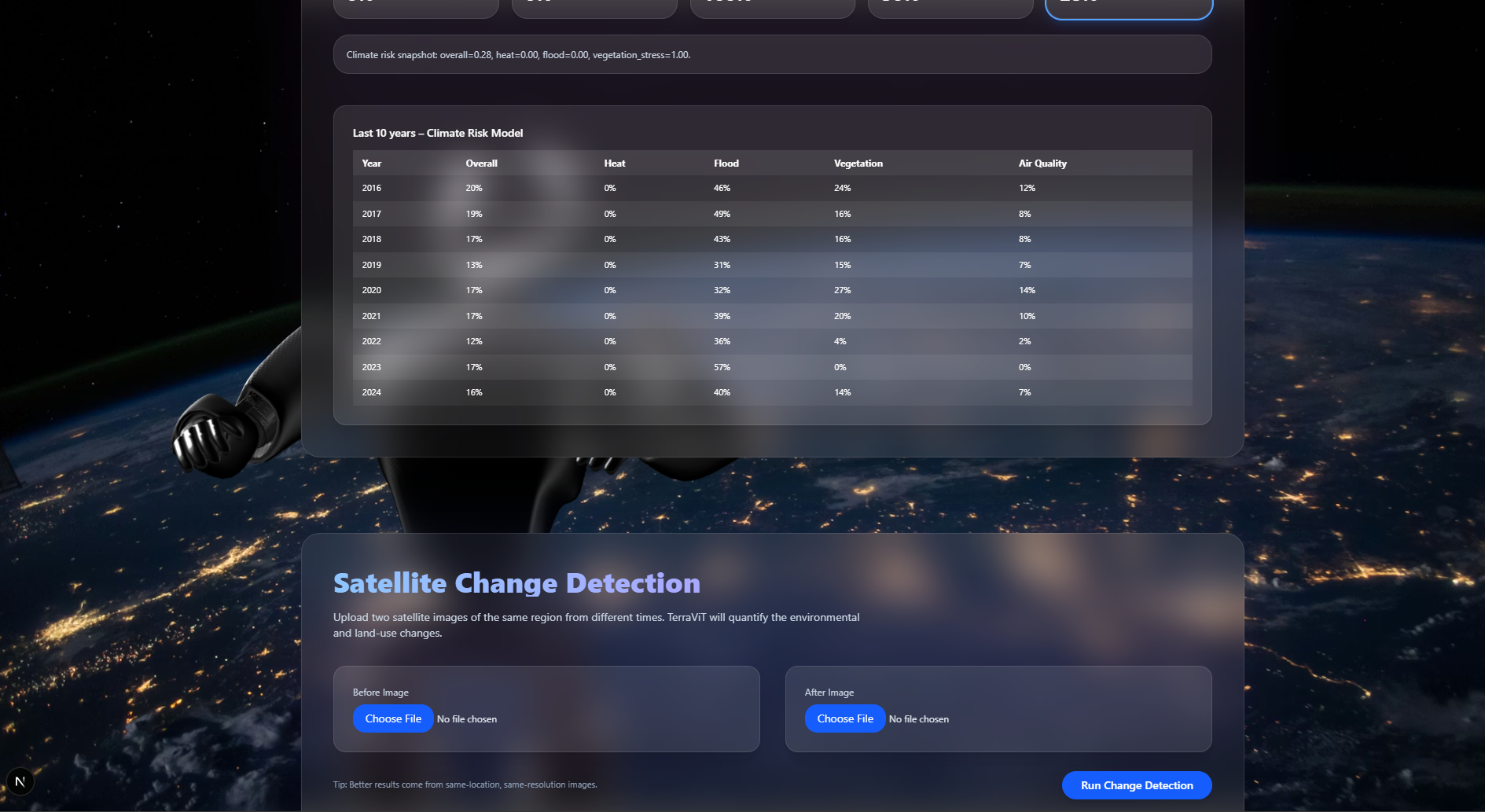
TerraViT is a climate intelligence platform that converts raw satellite pixels into actionable early-warning signals for a warming planet. Built on Vision Transformers fine-tuned for multi-spectral, multi-temporal Earth observation data, TerraViT continuously scans the globe to detect stress signals in vegetation, water, heat, and air quality — often weeks or months before they escalate into measurable human impact.
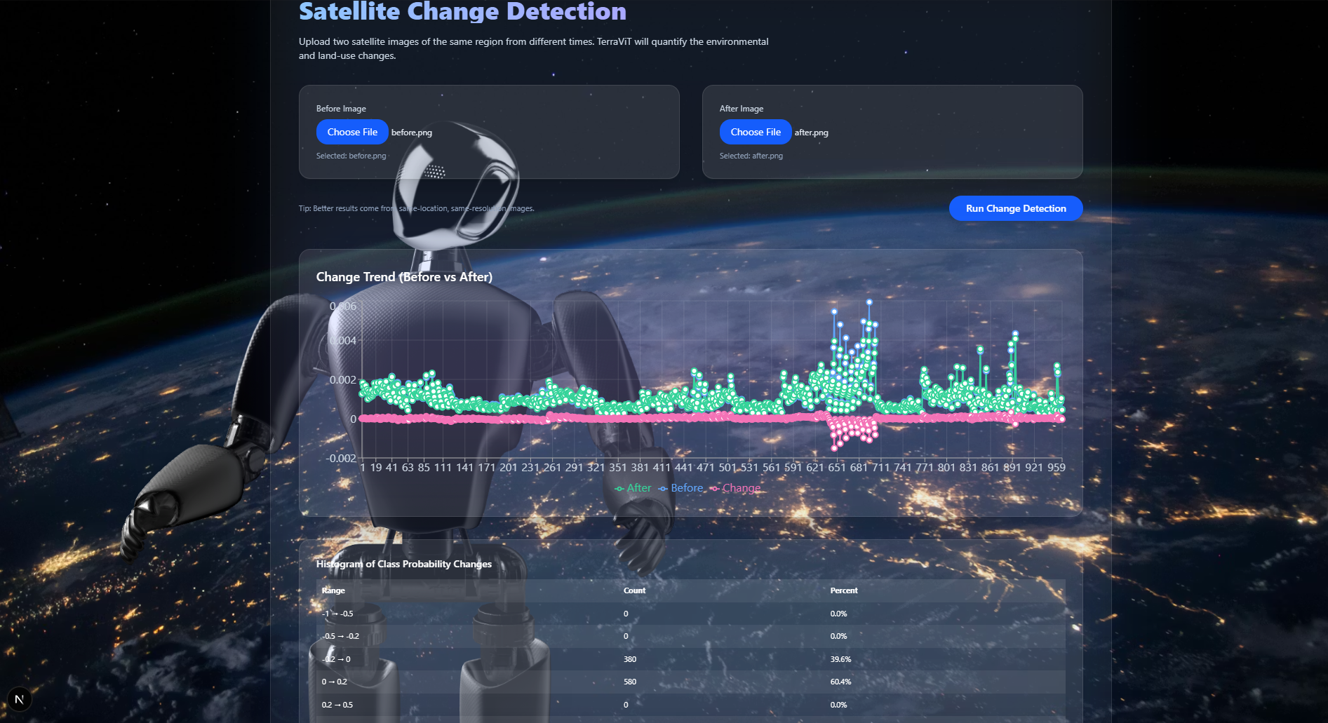
The platform fuses data from multiple sensor types (multi-spectral, SAR, and thermal imagery across satellite constellations) and uses temporal context — weeks to years of historical and seasonal signals — to generate accurate, explainable risk predictions. Attention heatmaps and attribution traces make the model's reasoning transparent, so users can trust and act on its outputs.
Core capabilities:
Heatwave Detection: high-resolution anomaly mapping to reveal early-stage urban and regional heat stress
Vegetation Loss Alerts: NDVI-based tracking of deforestation, drought stress, and ecosystem decline
Flood & Water Change Monitoring: near-real-time detection of rising water bodies and flood risk
Air Quality Mapping: fusing imagery with emissions data to pinpoint pollution hotspots
TerraViT is designed for teams that need to act on climate risk, not just observe it: public sector agencies running emergency response and resilience planning, ESG and climate risk teams monitoring asset-level exposure, and research groups accelerating Earth system science. Raw geospatial tiles (from Earth Engine, STAC, or satellite archives) flow through TerraViT's inference pipeline and come out the other side as risk scores, change maps, and spatiotemporal forecasts — ready to plug into dashboards, notebooks, or automated alerting systems.
By making planetary-scale monitoring fast, explainable, and actionable, TerraViT helps decision-makers move from reacting to climate disasters to anticipating and preventing them.
Lead with the problem, not the tech panels remember "early warning before disaster" more than "Vision Transformers."